ADVERTISEMENT
All Property News
Stay updated with the latest real estate and finance news, including property market trends, housing insights, and valuable information.

Berjaya Land to be renamed Berjaya Property
Feb 13, 2026

Wawasan Dengkil bags RM24.8 mil road and landscape job from Gamuda unit
Feb 13, 2026

Gamuda Land reaffirms Malaysia focus, highlights 'Money Mari Home' initiative
Feb 13, 2026

Tropicana Foundation and VitaHealth deliver CNY cheer to two elderly homes
Feb 13, 2026

KIP REIT to fund RM160 mil Kinta City Mall expansion, securing 25-year lease with AEON
Feb 13, 2026

High Court orders KSK Land to pay RM102m to GDB unit over 8 Conlay works
Feb 13, 2026
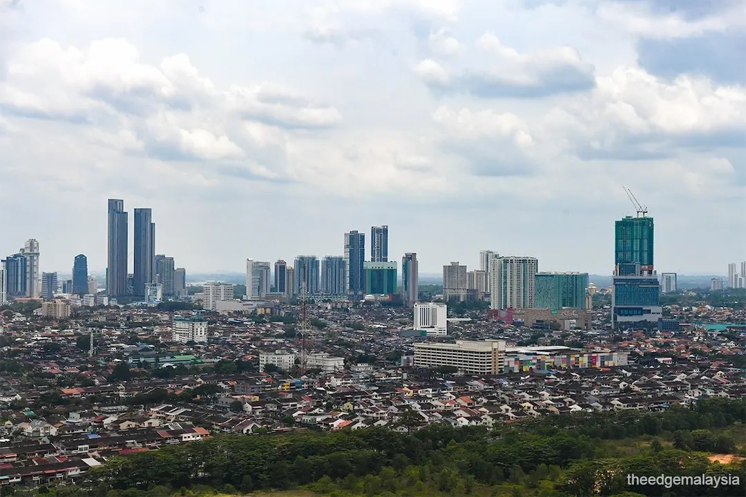
How to reap Johor Bahru’s ripe opportunities without getting burned if the bubble bursts
Jan 9, 2026

Platinum Melati Residences—Setapak’s latest gem for family-centric sustainable living with LRT connectivity
Dec 19, 2025

S P Setia CNY Campaign 2026—Bag limited-time homeownership prosperity perks up to RM3,888 rebates!
Feb 11, 2026

Legally Speaking
Govt seeks to forfeit funds in Ilham Tower, individual accounts linked to Daim case

Guide to Homebuying
Find the best location for your home

Legally Speaking
KL High Court rules developer’s ‘contra arrangements’ with landowner invalid in K Residence condo case; Duta Yap’s son held personally liable
Trending narratives
Malaysia's Most
Loved Property App
The only property app you need. More than 200,000 sale/rent listings and daily property news.


