Fadillah: Flood risk now a key factor in approving housing projects
- Deputy Prime Minister Datuk Seri Fadillah Yusof said all development applications submitted through a one-stop centre must undergo a comprehensive evaluation by technical agencies, including the Department of Irrigation and Drainage (DID), to ensure that drainage and flood mitigation aspects are taken into account before approval is granted.
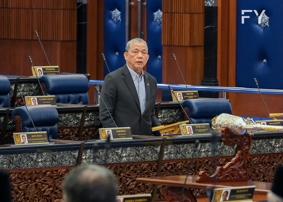
KUALA LUMPUR (Oct 22): Flood risk has now been made one of the key factors in the technical assessment process for all new housing projects nationwide to ensure that buyers do not become victims of developments in flood-prone areas, Deputy Prime Minister Datuk Seri Fadillah Yusof (pictured) said.
He said all development applications submitted through the one-stop centre must undergo a comprehensive evaluation by technical agencies, including the Department of Irrigation and Drainage (DID), to ensure that drainage and flood mitigation aspects are taken into account before approval is granted.
“This assessment refers to the Flood Mitigation Master Plan and annual flood report to ensure that local infrastructure can cope with the impact of climate change, which has led to increased rainfall intensity and rising sea levels,” he said during question time in the Dewan Rakyat on Wednesday.
He was responding to Datuk Muhammad Bakhtiar Wan Chik (Pakatan Harapan-Balik Pulau), who had asked Fadillah, who is also the energy transition and water transformation minister, to state the flood risk status of housing projects so that buyers do not end up purchasing homes in flood-prone areas in the future.
Fadillah said that development control also takes into account the state structure plan and local plan, which outline policies and land-use suitability, including the identification of flood-risk zones.
For new projects, he said that the drainage system designs must comply with the Manual for Environmental-Friendly Drainage (MSMA), which emphasises an integrated rainwater management approach, such as retention ponds and eco-friendly elements, to reduce the risk of flash floods.
"However, for older housing developments before the enforcement of the MSMA, most areas lack adequate flood control systems and are more exposed to risks whenever there is unusually heavy rainfall,” he said.
Fadillah said the improvement of drainage systems in old residential areas would require action from various parties, including state governments and local authorities, to evaluate and upgrade the capacity of existing systems.
In addition, he said the 41st meeting of the National Physical Planning Council on April 17, 2023 had agreed that the Environmentally-Friendly Drainage Master Plan (Pisma) would be adopted by all state governments and local authorities as a guide for the planning and implementation of more systematic and sustainable land development projects.
“Pisma serves as a reference for upgrading and building drainage systems and for planning future developments in a more structured way to reduce flash flood risks and control pollution caused by development,” he added.
Replying to a supplementary question from Muhammad Bakhtiar on the status of Phase 2 of the Flood Forecasting and Warning Programme (PRAB), Fadillah said that a total of 38 major river basins are currently being monitored to strengthen early warnings and protect high-risk residential areas.
Fadillah added that the programme is implemented by the DID under the national forecasting and warning system, which can forecast floods up to seven days in advance and issue warnings two days before floods occur.
"The PRAB involves major river basins nationwide, developed in three phases between 2015 and 2030. Phase 1, involving Sungai Kelantan, Terengganu and Pahang, is already operational; Phase 2, involving 33 basins in Peninsular Malaysia and five in Sabah and Sarawak, is expected to be completed in 2028,” he said, adding that Phase 3 will comprise 33 basins in Sabah and Sarawak between 2025 and 2030.
So far, he said the PRAB monitors 1,798 hydrology telemetry stations, 614 flood warning systems and 197 monitoring cameras operating around the clock in flood hotspots, with 3,683 high-risk locations identified.
Replying to a supplementary question from Datuk Abdul Khalib Abdullah (Perikatan Nasional-Rompin) regarding the proposal to create an integrated flood risk map data portal for each housing project, Fadillah said that historical flood data, risk areas and technical development information had been channelled to the one-stop centre and state technical committees.
"This data can be referred to by buyers or developers to know about the status of an area, while the DID is expanding collaboration with state governments to ensure development planning takes into consideration flood risks and appropriate mitigation measures,” he said.
As Penang girds itself towards the last lap of its Penang2030 vision, check out how the residential segment is keeping pace in EdgeProp’s special report: PENANG Investing Towards 2030.
Follow Us
Follow our channels to receive property news updates 24/7 round the clock.
Telegram

Latest publications
View AllFollow Us
Follow our channels to receive property news updates 24/7 round the clock.
Malaysia's Most
Loved Property App
The only property app you need. More than 200,000 sale/rent listings and daily property news.
